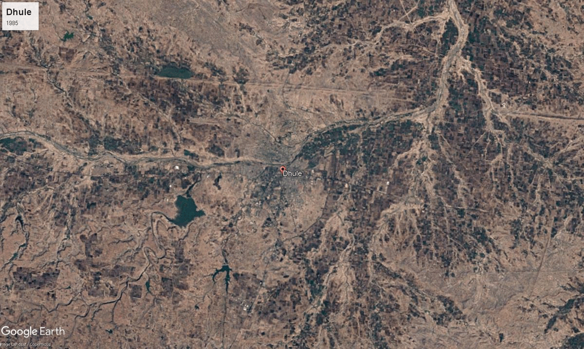
Dhule
8063 sq. km
~22.04 lakh (2019)
941 (2011)
~ ₹25,832 crore (2019)
~ ₹1.17 lakh (2019)
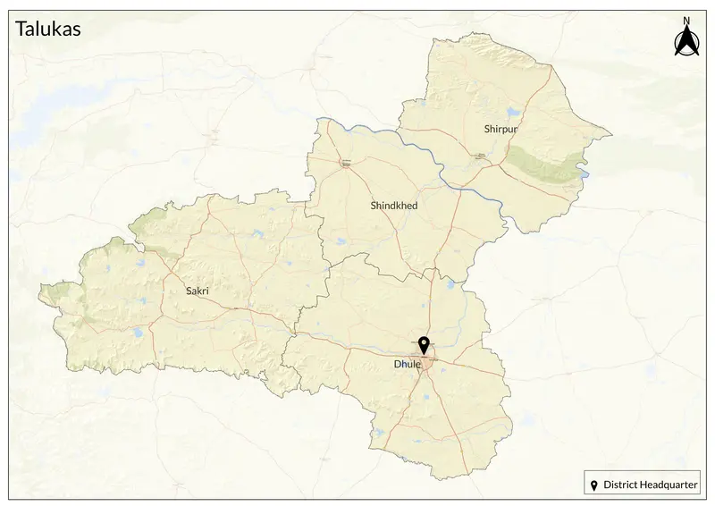
Dhule district, situated in northwest Maharashtra on the banks of the Panzara River, serves as an administrative and commercial hub for the region, and is part of the historic Khandesh area. The district has strategic transport links, including the Dhule-Chalisgaon Railway opened in 1900 and several major highways. Dhule district itself now covers four talukas: Dhule, Sakri, Shirpur, and Shindkheda (with Nandurbar separated as a separate district in 1998).
The region’s ancient name was Rasika, later called Seunadesa after King Seunchandra of the Yadava dynasty (circa 10th–12th century CE). The territory saw successive rule by the Mauryas, Satavahanas, Abhiras, Vakatakas, Chalukyas, and Yadavas, before being renamed Khandesh under the Muslim Farooqi dynasty (late 14th–17th centuries) following Akbar's conquest in 1601. Throughout the 18th century, Marathas controlled Dhule until the British takeover in 1818. West Khandesh (later renamed Dhule district) was divided from East Khandesh (Jalgaon) in 1906, and became part of Bombay State after the post-independence reorganization of 1956, joining Maharashtra in 1960.
Dhule’s culture reflects its multi-ethnic roots, with Marathi, Khandeshi, Ahirani, Bhili, and Urdu spoken widely. The district is known for its vibrant folk arts as well. It is famous for high-quality milk, cottage industries such as beedi making, and the weaving of local Himroo and Paithani textiles. Dhule is also home to a major chilly market in Dondaicha and supports skilled handicrafts and saree production. Dhule is home to Laling Fort, Ekvir Devi Mandir, Kanhaiyalal Maharaj Mandir, and Samarth Vagdevta Mandir. Shirpur's replica of Tirupati Balaji Mandir and Bijasan Devi Mandirs are particularly famous.
It lies on the Deccan plateau and covers portions of the Satpura foothills, with river valleys like the Tapi and Panzara shaping its agricultural potential. The district has fertile plains, hills, and semi-arid land with a tropical climate, featuring hot summers, cool winters, strong winds, and moderate annual rainfall. The district has invested in renewable energy, notably with large solar and wind farms established near Sakri in recent years.
Agriculture is central to Dhule’s economy, with cotton, wheat, jowar, bajra, chillies, onions, sugarcane and groundnuts being main crops. Irrigation remains limited so farmers rely on monsoon rains, though ongoing efforts include dam projects and new irrigation schemes. Industrial development has accelerated since the 1960s, with Maharashtra Industrial Development Corporation estates and the Nardana Textile Park providing manufacturing and logistics. Dhule’s inclusion in the Delhi-Mumbai Industrial Corridor is said to be attracting automotive, textile, dairy, and agro-processing industries. Today, Dhule balances its long agricultural heritage with emerging industrial strengths and infrastructure upgrades.
Explore Dhule