Latur
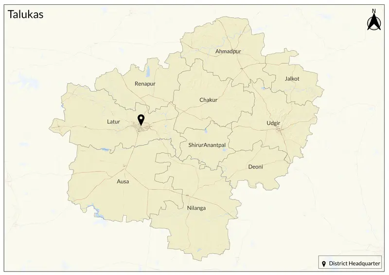
7,157 sq. km
~26.31 lakh (2019)
927 (2011)
~ ₹29,959 crore (2019)
~ ₹1.14 lakh (2019)
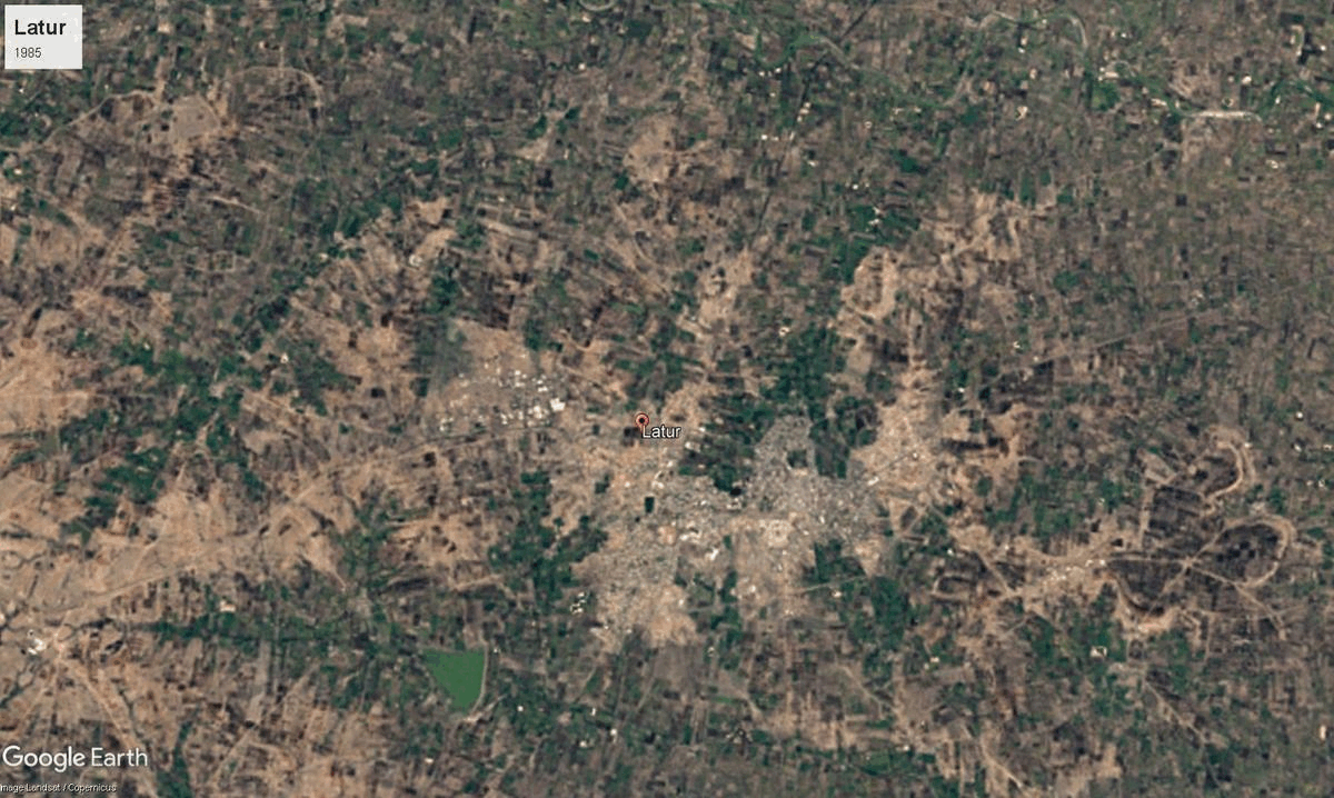
Latur, located in southern Marathwada, derives its name from Lattaluru or Ratnapur. Historically, it was part of the Satavahana dynasty and later came under the rule of the Chalukyas, Rashtrakutas, and Yadavas. Its roots trace back to the Rashtrakuta dynasty, with King Dantidurga (8th century) hailed as a native and King Amoghavarsha credited with city development. Over time, Latur saw rule by Satavahanas, Chalukyas, Yadavas, Bahamani, Adilshahi, and the Mughals before coming under the independent Hyderabad State in the 17th century. During the 14th century, it was annexed by the Delhi Sultanate under Malik Kafur. It later came under the Bahmani Sultanate and subsequently the Adil Shahi and Nizam Shahi dynasties before being incorporated into the Mughal Empire. Following the Mughal decline, it was controlled by the Nizam of Hyderabad until India’s independence in 1947. The city rose in prominence during the Nizam period as a trade hub, became a tehsil in 1905 under Osmanabad, and was established as a separate district carved out of Osmanabad in 1982.
Culturally, Latur is distinguished by the “Latur Pattern,” a renowned educational methodology rooted in local colleges and adopted across Maharashtra. Its vibrant arts, annual Siddheshwar fair, and religious sites like Siddheshwar-Ratneshwar Temple and Ausa Fort showcase a fusion of Deccan, Maratha, and Hyderabadi heritage. Latur is also known for its historical caves at Kharosa, and various temples and mosques reflecting the region’s plural traditions. Local festivals and fairs unite the community and resonate with the region’s diverse history. Udgir Fort, associated with the battle between the Marathas and the Nizam, is also an important historical site.
Latur is situated in the Balaghat plateau of Deccan Plateau region of Maharashtra, characterized by undulating terrain, black soil, and fertile agricultural lands. The district lies in the Godavari river basin, with tributaries like the Manjra and Terna rivers providing essential water sources for agriculture and daily use. Due to its plateau landscape, Latur experiences a mix of flatlands, rolling hills, and occasional rocky outcrops, making it suitable for both farming and industrial development. The region is also prone to seismic activity, with the devastating 1993 Latur earthquake being a significant event in its history.
Latur’s economy centers around agriculture, particularly pulses, oilseeds, sugarcane, and edible oils. The district has earned the title "Sugar Belt of India" due to its many cooperative sugar factories. Latur also leads India’s soybean trade and has developed specialized markets for grapes and mangoes, now exporting “Keshar Amba.” Industrialization features many MIDC estates. The district however, is developing as an educational hub with several reputed institutions, and as mentioned above, the Latur Pattern of study, which even though created locally, has become a standard style of prepearation for secondary and pre-university exams throughout the state.
Explore Latur