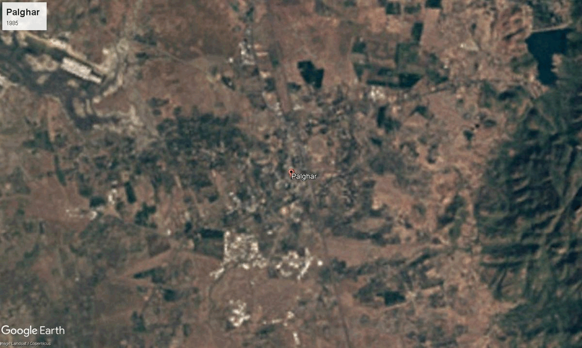
Palghar
~5,344 sq. km.
~12,80,000 (2019)
~886 (2011) (includes Thane)
~ ₹13,85,100 (2019)
~ ₹1,08,211 (2019)
Palghar, located in the Konkan Division of Maharashtra, shares its borders with Valsad (Gujarat) and the Arabian Sea, both of which have played a crucial role in its history and economy. The name "Palghar" is believed to have originated from "Pal" (temporary shelter) and "Ghar" (house), possibly referring to its historical role as a resting place for travelers and traders. Another theory suggests a connection to the Pal community, which may have once inhabited the region.
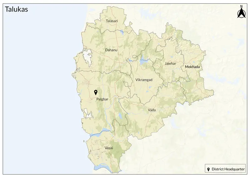
Historically, Palghar was an important maritime trade center, influenced by the Portuguese, Marathas, and British. Until August 2014, it was part of Thane district before becoming a separate district. Today, Palghar comprises eight talukas: Palghar, Vasai, Vikramgad, Dahanu, Jawhar, Mokhada, Talasari, and Wada. According to the 2011 Census, Marathi is the most widely spoken language, with Hindi, Urdu, Varli, Gujarati, Bhojpuri, and Marwari also spoken by different communities.
Palghar’s geography is diverse, covering Sahyadri hills, coastal plains, and flatlands. It has three distinct regions: Jangalapatti (eastern hills), Bandarpatti (western coastal belt), and Wada flatland. Major rivers like Vaitarna and Ulhas flow through the district, with Tansa Dam serving as a key water source for Mumbai. With abundant rainfall, Palghar has a humid tropical climate, marked by moderate summers and lush monsoons.
The district has a rich historical and cultural heritage. Vasai taluka, with nine grand churches dating back to mid-16th century, reflects Portuguese influence (Vasai was called as Bassein by Portugese; interestingly, the railway station code of Vasai Road Junction is BSR, coming from Bassein Road, just as the Treaty of Bassein 1802, between British and Marathas comes from the same Portugese name). The Buddha Stupa in Nallasopara West is a reminder of the region’s Buddhist history, while Nirmal Lake in Vasai, believed to date back to Shri Parshuram’s era, holds religious significance. Palghar is dotted with ancient forts such as Vasai Fort, Arnala Fort, Tandulwadi Fort, Bhavangad Fort, Kohoj Fort, and Mahim Fort. Important religious sites include Jivadani Mandir and Mahalakshmi Mandir at Kasa (Dahanu). The district also boasts Tansa Wildlife Sanctuary, Jawhar Hill Station, Suryamal Hill Plateau, Dabhosa Waterfall, Vajreshwari Hot Springs, and scenic beaches like Dahanu, Bordi, Kelwa, and Mahim.
Palghar's economy is diverse, with agriculture, industry, fisheries, and tourism playing major roles. The mountainous regions of Jawhar and Mokhada cultivate rice, millet, black gram, fruits, and vegetables, while the western coastal region relies on agriculture and fisheries. Dahanu is famous for chikoo production, celebrated annually at the Bordi Beach Chikoo Festival. The fishing industry is also significant, with Satpati (Maharashtra’s largest fishing port), Dahanu, Arnala, Vasai, and Datiware being major hubs.
Industrial development has also shaped Palghar’s economy. Tarapur MIDC, located in Boisar, is one of Maharashtra’s largest industrial areas, with industries in chemicals, pharmaceuticals, textiles, engineering, and plastics. The district is home to India’s first atomic power plant in Tarapur, further enhancing its industrial importance. Despite industrialization, agriculture remains the backbone of Palghar, ensuring both local livelihoods and Mumbai’s food supply.
Explore Palghar