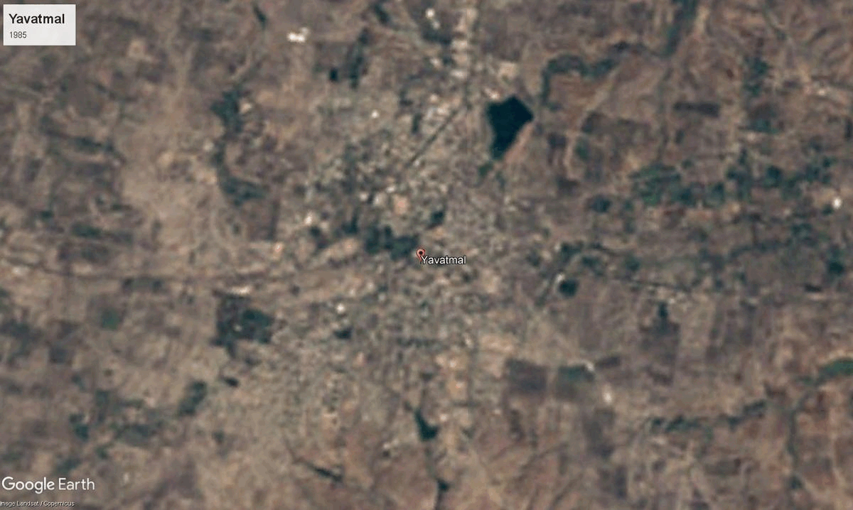
Yavatmal
13,582 sq. km
~29.61 lakh (2019)
947 (2011)
~ ₹27,494 crore (2019)
~ ₹92,846 (2019)
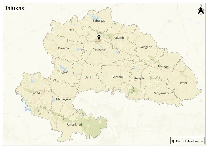
Yavatmal district, in southeastern Maharashtra’s Vidarbha region spans the hilly plains between the Wardha and Penganga rivers. The name “Yavatmal” comes from Marathi roots: yavat (row of hills) and mal (plateau), capturing its landscape of rolling plateaus and forested hills. Historically, Yavatmal, formerly called Yeotmal, was the headquarters of a pargana (administrative division) in the Mughal era (referenced in the Ain-i-Akbari as Yot-Lohara) and has long been known as a safe and strategic market town in Berar Province, with shifting control between the Bahmani Sultans, Ahmadnagar Sultanate, Mughals, Marathas, and the British, before joining Maharashtra in 1960. The district was part of the Vidarbha Kingdom, mentioned in the Mahabharata, and later came under the rule of the Mauryas, Satavahanas, Vakatakas, Chalukya, Rashtrakutas, and Yadavas of Devagiri. In the 14th century, it was conquered by Alauddin Khilji’s Delhi Sultanate, followed by the Bahmani Sultanate. The Mughals took control in 1595, and by 1724, the Nizam of Hyderabad incorporated Yavatmal into his dominion. Under British rule, Berar, including Yavatmal, was placed under the East India Company in 1853. The region remained part of Hyderabad State until 1956, after which it was merged into Maharashtra in 1960. Yavatmal comprises 16 tehsils: Arni, Babhulgaon, Darwha, Digras, Ghatanji, Kalamb, Mahagaon, Maregaon, Ner, Pandharkawada (Kelapur), Pusad, Ralegaon, Umarkhed, Wani, Yavatmal, and Zari Jamani. Marathi is the primary language spoken, with Lambadi, Urdu, Hindi, Kolami, Gondi, and Telugu also spoken by different communities.
Yavatmal is a crossroads of Marathi, Varhadi, Lambadi, Urdu, Hindi, Telugu, Gondi, Kolami, and Andh languages, with Varhadi Marathi most common. The city hosted the Marathi Sahitya Sammelan twice, reflecting its literary significance. The region celebrates diverse festivals (Navratri, Diwali, Dussehra, Ambedkar Jayanti, Urs at Kambalposh Baba’s Dargah, Varkari processions) and is renowned for its traditional fairs, folk music, and tribal dances. The district is home to several historic and religious sites. Shri Chintamani Ganesh Mandir in Kalamb is a major pilgrimage site on the Chakravati River. Baba Kambalposh Dargah in Arni is a revered shrine. Mahadev Mandir in Pandharkawada is an important Shiva temple, while the Jambhora Mahur Fair attracts thousands of people.
avatmal occupies a plateau circled by hills, with fertile plains in the Panighat valley and rivers like the Penganga, Wardha, Bembala, and Nirguda shaping its agricultural landscape. The district is dotted with numerous forests, especially at Bitargaon, Tipeshwar, Tiwsala, and Umbarda, supporting wildlife sanctuaries such as Tipeshwar (set to be a new tiger reserve) and Painganga. The area experiences moderate monsoon rainfall and a tropical savanna climate, creating a blend of black cotton soils and transitional Deccan trap rocks.
Agriculture is the primary occupation, with Yavatmal known for its extensive cotton cultivation. Other major crops include jowar, soybean, pulses, and oranges, with historic cotton ginning, trading, and furniture-making industries. The district also produces teak wood for export. The textile and agro-based industries, including cotton processing, oil mills, and soybean plants, contribute to the economy. Yavatmal saw the British-built “Shakuntala Railway” as a symbol of its historic cotton trade, and recent years have brought new SEZs, textile mills, and agro-business hubs.
Explore Yavatmal