Contents
- History
- Early Road Development
- Traditional Means for Daily Conveyance
- Modes of Transport
- Train and Rail Systems
- Overview of Bus Networks
- Ferries & Water Transport
- Cycle, Taxis, and Shared Vehicles
- Air Travel
- Traffic Map
- Communication Networks
- Newspapers & Magazines
- Radio & Broadcasting
- Graphs
- Road Safety and Violations
- A. Cases of Road Safety Violations
- B. Fines Collected from Road Safety Violations
- C. Vehicles involved in Road Accidents
- D. Age Groups of People Involved in Road Accidents
- E. Reported Road Accidents
- F. Type of Road Accidents
- G. Reported Injuries and Fatalities due to Road Accidents
- H. Injuries and Deaths by Type of Road
- I. Reported Road Accidents by Month
- J. Injuries and Deaths from Road Accidents (Time of Day)
- Transport Infrastructure
- A. Household Access to Transportation Assets
- B. Length of Roads
- C. Material of Roads
- D. Licenses Issued
- Bus Transport
- A. Number of Buses
- B. Number of Bus Routes
- C. Length of Bus Routes
- D. Average Length of Bus Routes
- E. Daily Average Number of Passengers on Buses
- F. Revenue from Transportation
- G. Average Earnings per Passenger
- Communication and Media
- A. Household Access to Communication Assets
- B. Newspaper and Magazines Published
- C. Composition of Publication Frequencies
- Sources
GADCHIROLI
Transport & Communication
Last updated on 6 November 2025. Help us improve the information on this page by clicking on suggest edits or writing to us.
History
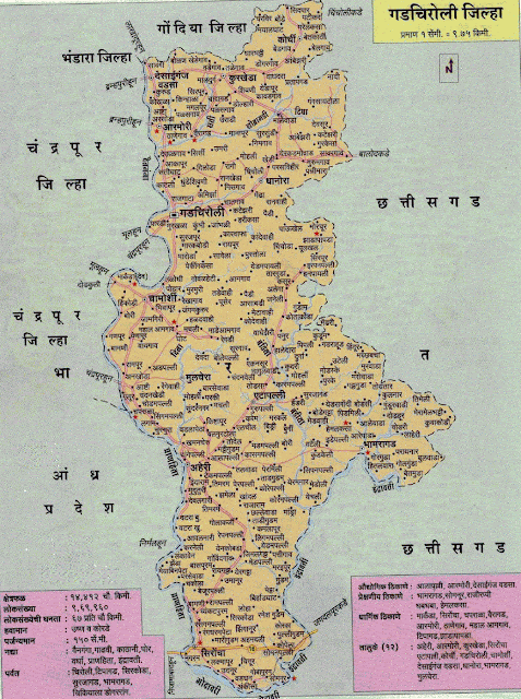
Before Gadchiroli became a separate district in 1982, it formed part of the larger Chandrapur district. This historical link is important for understanding how its transport infrastructure developed over time. The Chanda District Gazetteer (1909) notes that Chandrapur, which then included the present Gadchiroli region, ranked next only to Nagpur in trade and commerce within the area. Gadchiroli likely shared in this trade network due to its position near Nagpur and Chandrapur.
Early Road Development
The development of roads in what is now Gadchiroli began under British colonial administration. As noted in the Chandrapur district Gazetteer (1973), southern parts of Chandrapur remained largely disconnected until the famine relief works around 1900. The area’s dense forests and mineral deposits attracted colonial interest, leading to the occupation of local lands for timber and mineral extraction. Early roads were constructed mainly to transport these resources, often overlooking the day-to-day mobility needs of local communities.
By 1909, key road links had emerged. One important route connected Sironcha to Allapalli, opening up the lower Wainganga and Wardha valleys for the transport of grain from the Pranhita valley and linking Allapalli’s timber depot to the rail network. Another route, completed in 1894, ran from Gadchiroli to Mul, covering about 40 km. This road became an important link for moving timber and agricultural produce.
Traditional Means for Daily Conveyance
For local transport within villages and forest settlements, communities continued to rely on traditional means well into the 20th century. While detailed historical records are limited, it is likely that pack animals and animal-drawn carts were used for everyday travel, as was common in similar forested areas. Supporting this, the 2001 Census recorded fees for Tonga stands in the district, indicating that horse-drawn carriages remained part of the local transport system even in recent decades.
Modes of Transport
Train and Rail Systems
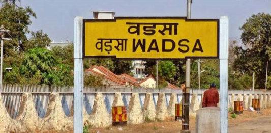
It is important to note that rail connectivity in Gadchiroli district remains limited. The district does not have a railway station in its headquarters city; instead, Desaiganj (Wadsa) Railway Station is the only station within the district boundary. This station continues to serve as an important hub, connecting parts of Gadchiroli to major routes towards Nagpur and Mumbai.
Gadchiroli’s early rail links developed when the area was still part of the larger Chandrapur district. At the time, railway lines were primarily laid to support coal transport and connect mineral resources to major cities such as Mumbai and Nagpur. According to the Chandrapur district Gazetteer (1973), plans were once made to extend these lines south to Warangal via Aheiri and Sironcha (towns in present-day Gadchiroli district), linking them with the Bombay–Madras route, although this extension did not materialise.
For inter-district journeys, locals say Chandrapur Station is commonly used, located about an hour away, with buses running regularly to and from the station.

Recent developments indicate potential expansion of the railway network within Gadchiroli. According to a Times of India (2023) report, Lloyds Metals and Energy Limited (LMEL) has proposed constructing a 47 km railway line from Mul in Chandrapur to Kondseri in Gadchiroli. This line, planned on a revenue-sharing basis with Indian Railways, would become only the second railway link within the district. Additionally, work on the Wadsa–Gadchiroli line under the South East Central Railway is ongoing, aiming to improve direct rail access to the interior parts of the district.
It is important to note that the district’s dense forests, soft soil, and high water retention are seen as factors that pose added engineering challenges for railway construction. These conditions have likely influenced the slower expansion of rail links in Gadchiroli compared to other regions.
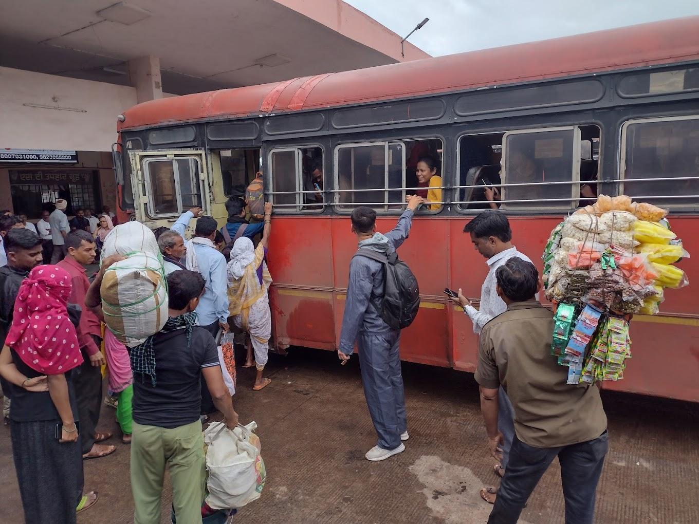
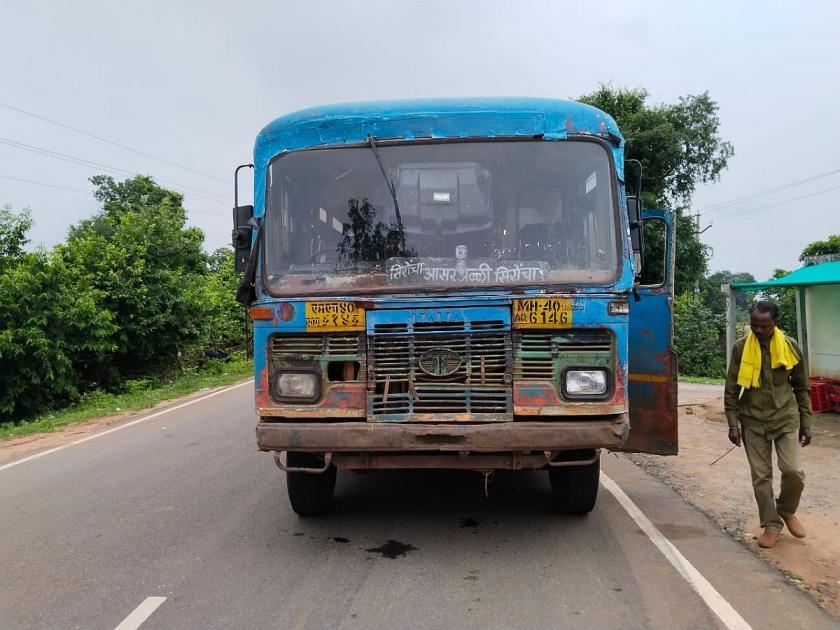
Overview of Bus Networks
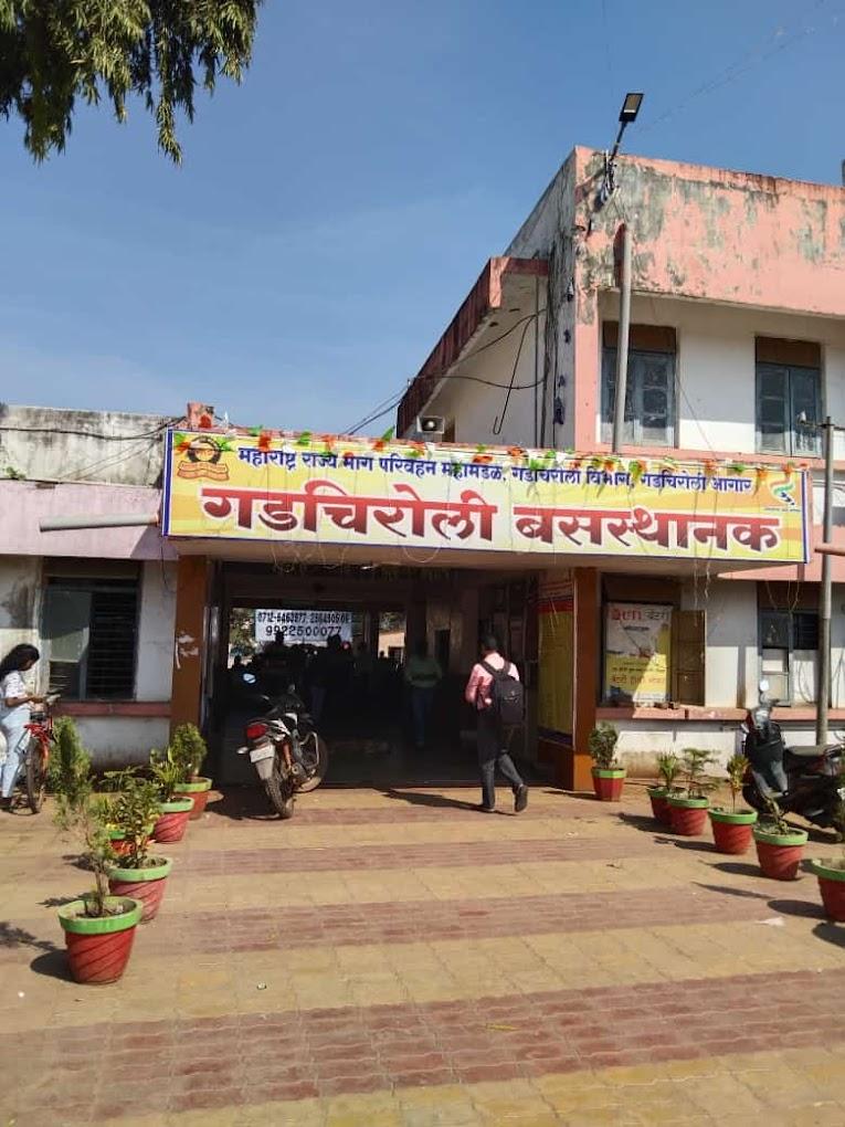
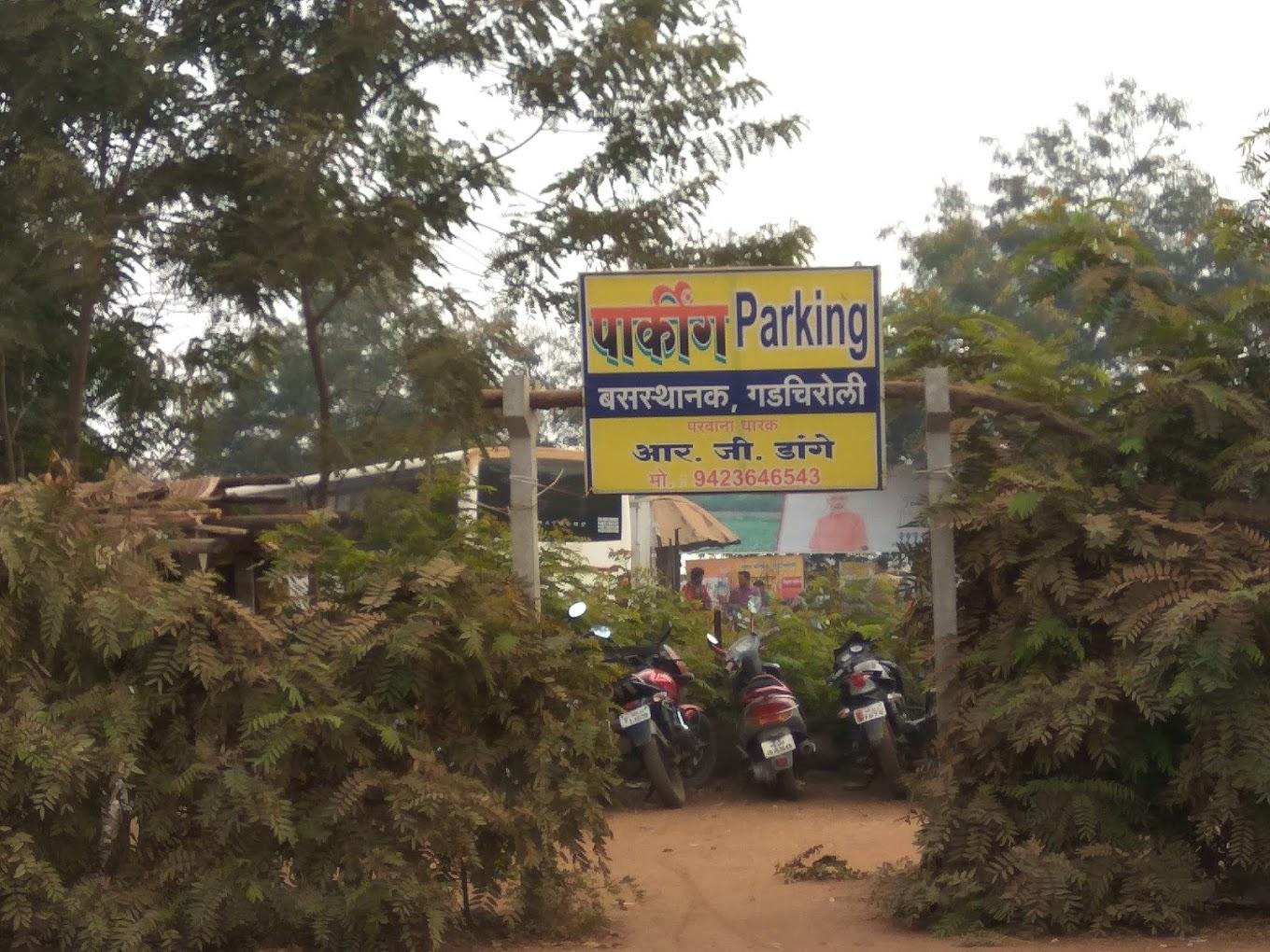
Bus services are the main form of public transport in Gadchiroli district today, connecting the headquarters town, surrounding talukas, and neighbouring districts. The Maharashtra State Road Transport Corporation (MSRTC) is the primary operator, running services alongside a few private vehicles. The district has two main MSRTC depots, located at Gadchiroli and Aheri.
The daily bus fleet includes services such as Lalpari and Shivshahi, which run between local towns and larger cities like Nagpur. A special fleet of blue buses was introduced to support school transport in low Human Development Index (HDI) blocks but is now mainly used for general passenger travel. Reports have noted that awareness of this scheme remains limited and operations have not always followed the intended school-hour schedule.
Despite regular services on major routes, many remote and forested villages still have limited access to reliable bus travel. Gaps in coverage are particularly visible in parts of the district affected by Maoist activity, where difficult terrain continues to restrict routes. In 2016, it is noted in an Indian Express article that at the time, only about 1,200 of the district’s 1,688 villages were mapped into the road network. While electrification work has progressed in some areas since then, transport links remain a challenge for many smaller settlements. This highlights the pressing need for continued investment and infrastructure improvement to ensure that all residents of Gadchiroli can benefit from reliable intradistrict travel.
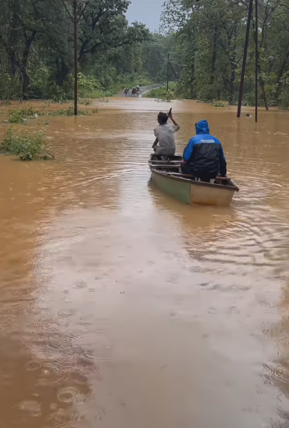
Ferries & Water Transport
Ferry services continue to be essential in parts of Gadchiroli where road access is limited, especially during the monsoon season. In Zareguda village, residents rely on boats to reach Bhamragarh, avoiding a 30 km detour through Darba and Juvvi. This saves time and helps navigate forested terrain that can become difficult to cross during heavy rains.
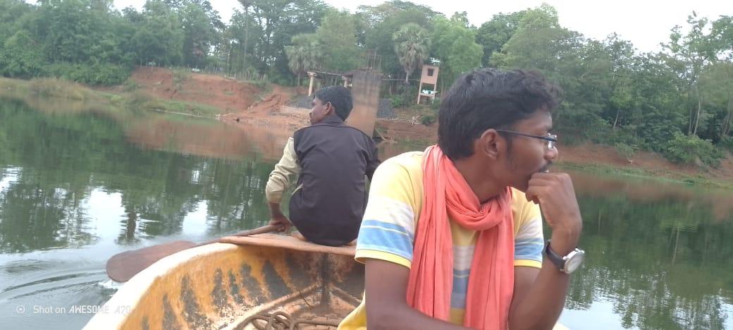
Seasonal flooding frequently cuts off road connections. In 2023, locals and news reports indicate that over 40 villages were reported isolated by floods, and in July 2024, more than 100 villages in Bhamragarh and Sironcha talukas faced similar conditions. During these months, boats remain the only means for residents to reach markets, health centres, and other services.
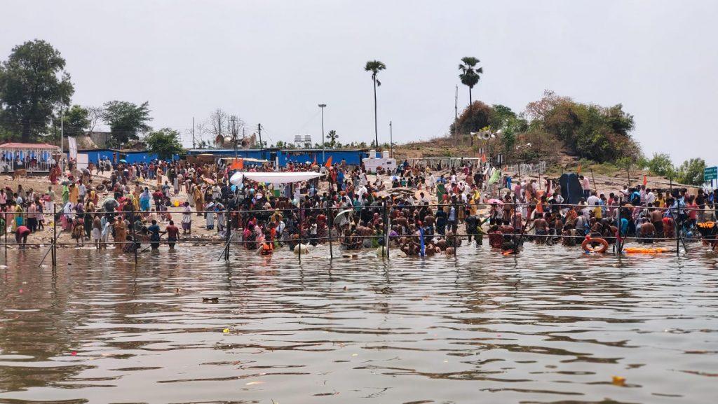
In addition to daily crossings and flood-time travel, navadis (boat riders) also operate at Nagaram Ghat, a key point on the Pranhita River in Sironcha taluka. Once every twelve years, large gatherings attend the Pushkar Kumbh Mela here, with yatris from Maharashtra, Telangana, and Chhattisgarh coming to bathe and visit the Kaleswaram Mandir. For decades, local families ran donga boats (traditional canoes) at this site, supporting daily travel and festival crossings alike. However, the construction of a new bridge over the Godavari River has suspended this boat service at Nagaram Ghat, affecting the livelihoods of many families who relied on it.
Cycle, Taxis, and Shared Vehicles
Bicycles remain a common mode of daily travel within Gadchiroli district, particularly for reaching farms and nearby villages. Locals say women in areas such as Bhamragarh and Sironcha often use them for short commutes.
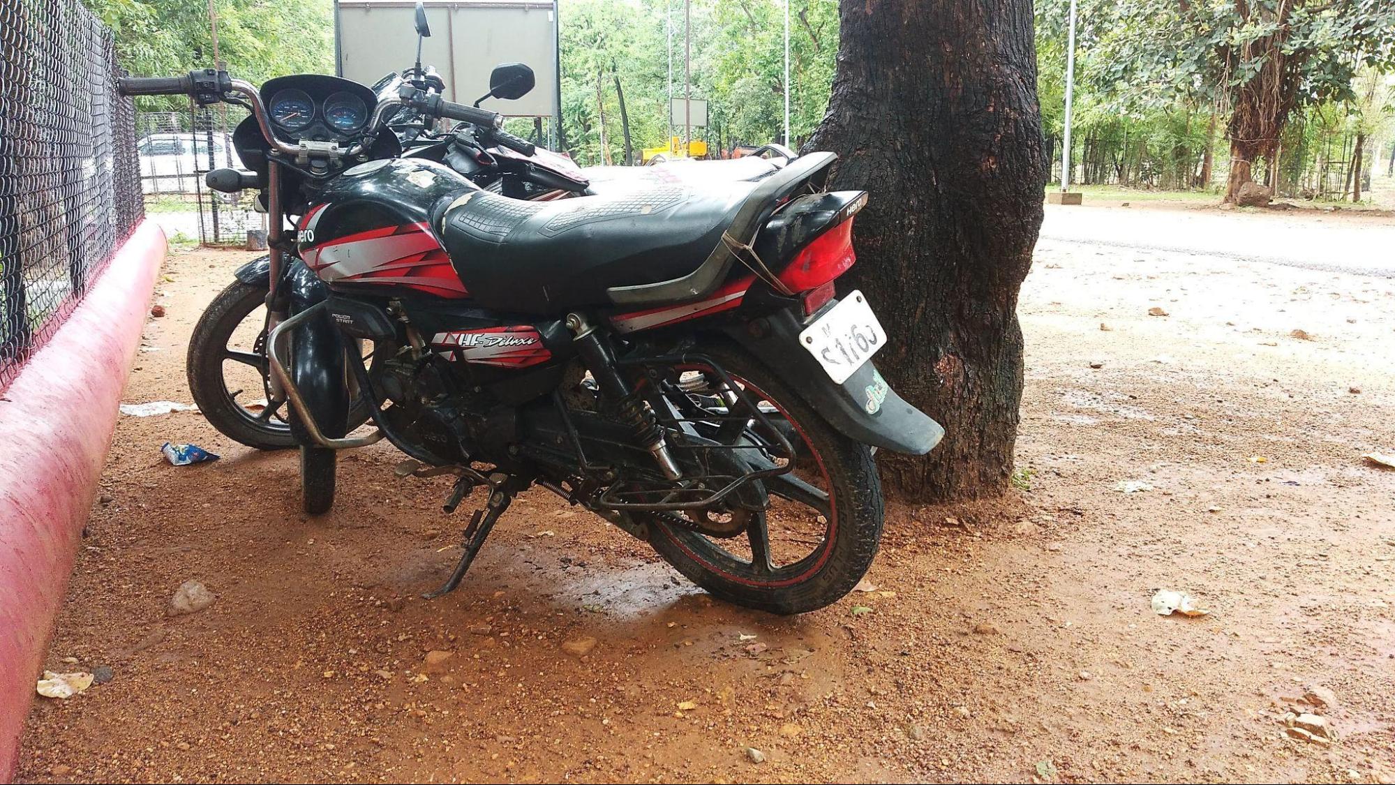
Motorcycles are widely relied upon for longer local travel and rough terrain. Popular models include the Shine and Bullet, though the HF Deluxe and Splendor+ are often preferred for their fuel efficiency and low maintenance costs. In remote areas where road access is limited, motorcycles have also been adapted as bike ambulances, helping to reach patients and provide basic medical transport in blocks such as Bhamragad.
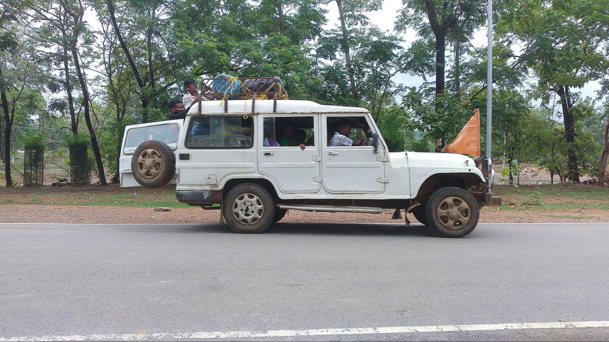
For short-distance road travel, ‘Kali-Pili’ taxis play an important role. These taxis connect residents to weekly markets and nearby towns and are commonly seen in places like Allapalli, Aheri, Sironcha, Bhamragarh, Mulchera, Chamorshi, and Laheri. Alongside taxis, shared jeeps are a familiar option in the district. Villagers often flag these down along routes, using them as a flexible and affordable means to travel without needing fixed bus stops.
Air Travel
Gadchiroli does not have an airport; the nearest one is located in Nagpur. However, helicopters are employed in emergency situations and for critical transport needs within the region.
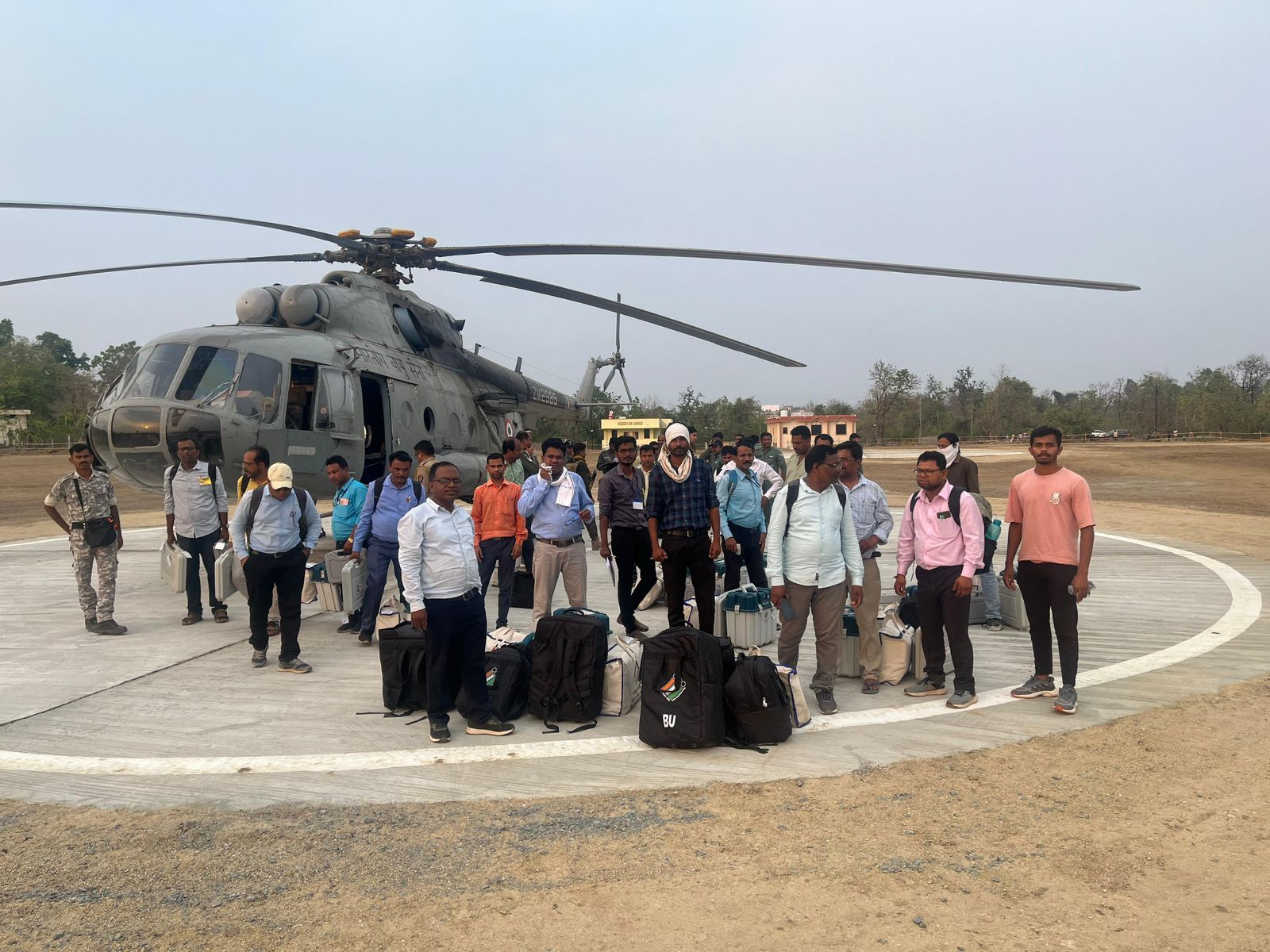
They are often called upon when high-profile individuals, such as the President, Home Minister, or Chief Minister, visit. These flights ensure secure and rapid transit, especially in sensitive contexts. Additionally, during assembly and Lok Sabha elections, helicopters are utilized to swiftly transport ballot boxes to safe locations in areas deemed highly sensitive.
During the monsoon season, when heavy flooding can cut off many villages in the Sironcha and Bhamragarh talukas, helicopters also play a vital role in assessing and addressing flood-affected areas. They provide necessary support for relief efforts, helping local authorities reach communities that are otherwise isolated.
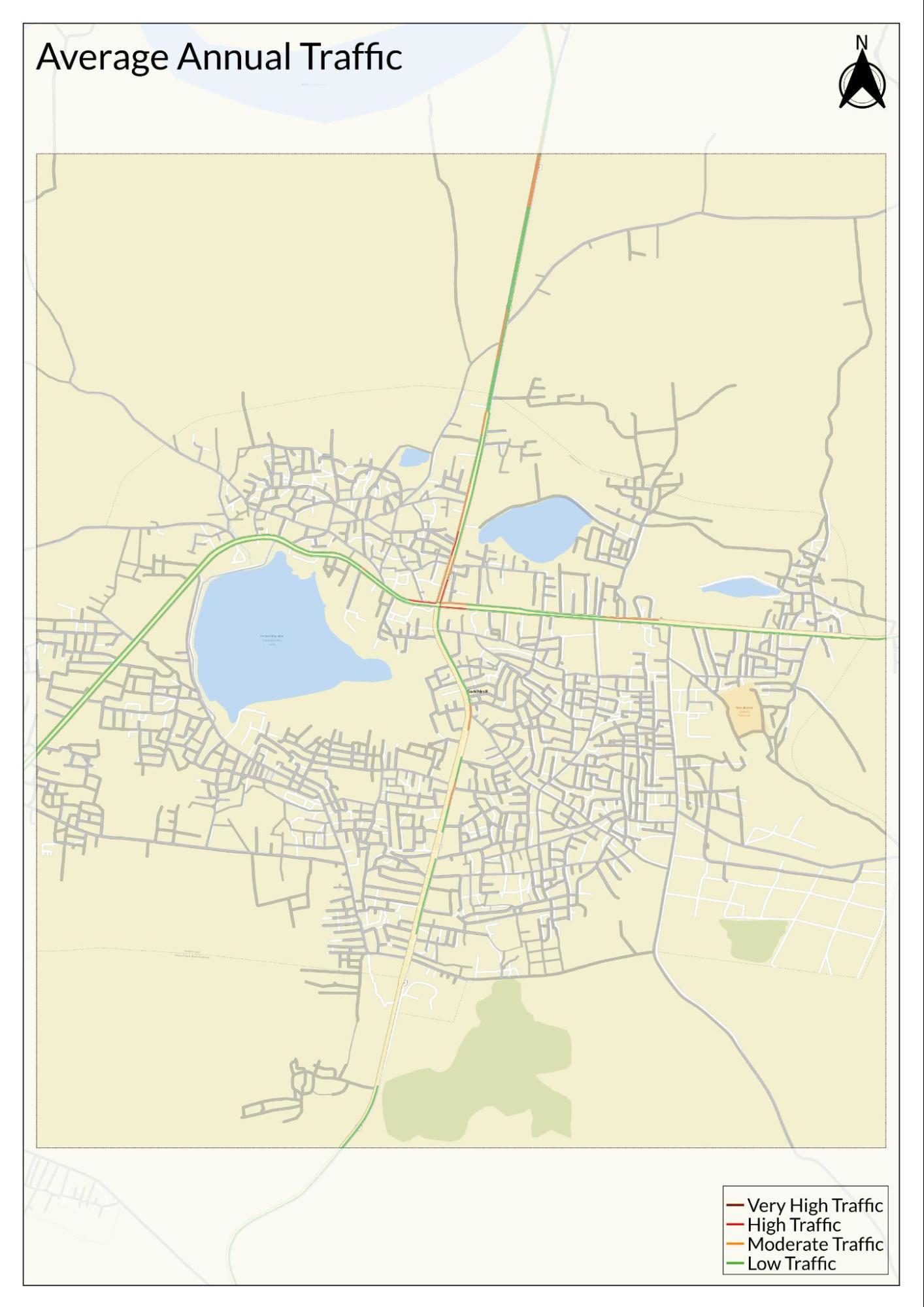
Traffic Map
Communication Networks
Newspapers & Magazines
A variety of local and regional newspapers circulate in Gadchiroli, providing regular coverage of district news and events. Notable publications include Gadchiroli Varta, Lokmat, Sakal, Loksatta, Tarun Bharat, Deshonnati, Punyanagari, Navbharat, Dainik Bhaskar, Lokmat Samachar, Maharashtra Times, and The Hitavada. These newspapers cover local affairs, politics, culture, and community issues for readers across the district.
Radio & Broadcasting
In Gadchiroli, radio and mobile-based initiatives have played an important role in sharing local information, especially in remote villages where conventional media reach is limited. One notable initiative was the Mobile Radio project launched in 2014–2015 by Shubhranshu Chaudhary and Adv. Lalsu Nagoti. Described as the world’s first mobile radio, this platform allowed residents to report issues in the Madia language variety (spoken by the Gond Madias who make up a significant population here) through a toll-free number. Concerns such as electricity supply and ration card access were shared directly with local authorities. Although the service later stopped, it demonstrated the potential of community-driven broadcasting.
To build on this approach, the Maharashtra government launched the Gadchiroli Live mobile app in May 2022. The app’s three channels—Suchana, Samvad, and Gyan Ganga—offer updates on health, agriculture, weather, and employment, helping to reach villages with timely information.
Graphs
Road Safety and Violations
Transport Infrastructure
Bus Transport
Communication and Media
Sources
Dipankar Ghose. 2018. When ‘Sarkaar’ Came to Amdeli, Gadchiroli Forests. The Indian Express.https://indianexpress.com/article/india/when…
Directorate of Census Operations, Maharashtra. 2001.District Census Handbook: Gadchiroli District – Village & Town Directory; Village and Townwise Primary Census Abstract (Series-28, Part A & B). Census of India 2001. Government of India.
Dr. V.V. Mishra, P. Setu Madhava Rao, G. A. Sharma, et al. 1972. Maharashtra State Gazetteers: Chandrapur District. Directorate of Government Printing, Stationary & Publications, Government of Maharashtra, Mumbai.
Government of Maharashtra. How to Reach Gadchiroli. Gadchiroli District Administration.https://gadchiroli.gov.in/how-to-reach/
Mazhar Ali. 2012. Bus Service for Girl Students Fails in Chanda and Gadchiroli District. The Times of India.https://timesofindia.indiatimes.com/city/nag…
Ocean Geosynthetics. 2025. Case Study: Enhancing Railway Infrastructure in Gadchiroli, Maharashtra with Ocean Geocomposite 700 GSM. Ocean Global.https://oceangeosynthetics.com/railway-infra…
Rupsa Chakraborty. 2023. Bike Ambulances Go the Last Mile for Patients in Remote Gadchiroli Villages. The Indian Express.https://indianexpress.com/article/cities/mum…
Russel V. ed. 1905. Central Provinces District Gazetteers: Chanda District. Pioneer Press, Allahabad.
Saikumar Reddy. 2024. People and Personalities of Gadchiroli District. Vikaspedia.https://vikaspedia.in/aspirational-districts…
Shishir Arya. 2023. Lloyds Metals & Energy Limited plans to build railway track in Gadchiroli district. The Times of India.https://timesofindia.indiatimes.com/city/nag…
World Health Organization. Road Safety. WHO, Geneva .https://www.who.int/health-topics/road-safet…
Last updated on 6 November 2025. Help us improve the information on this page by clicking on suggest edits or writing to us.